Practical operational intelligence.
A South African technology company turning drone-enabled aerial capture into usable footage, maps, reports and live operational insight.
A solution integrator
Berenith is focused on turning aerial systems, connected infrastructure and operational intelligence into practical outcomes. The company is not positioned as a drone retailer or a single-project venture — its role is to understand the operating problem, select the right aircraft and sensor configuration, establish a safe and compliant delivery model, coordinate specialist inputs, and convert captured information into usable footage, records, maps, reports or live operational insight.
The business is developing a mission-specific fleet across three capability classes: professional cinema and documentary platforms; compact, dock-compatible enterprise platforms for industrial and surveillance work; and FPV platforms for immersive, close-proximity visual storytelling — a flexible foundation for both project-based services and longer-term managed programmes.
More About Berenith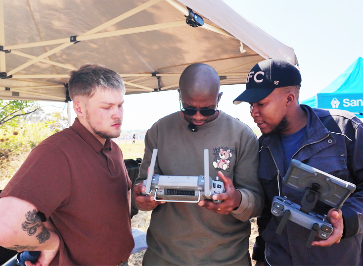
An integrated operating system, not four separate products
Each pillar can stand alone, but the greatest value is created when they work together.
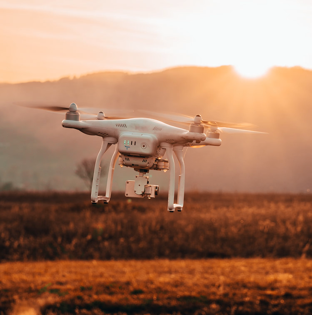
Drone Works
Cinema capture, FPV, aerial photography, thermal imaging, mapping, inspection, patrols and emergency observation.
Explore the fleet
Security & Surveillance
Perimeter observation, alarm verification support, event monitoring, night/thermal visibility and evidence capture.
See how it works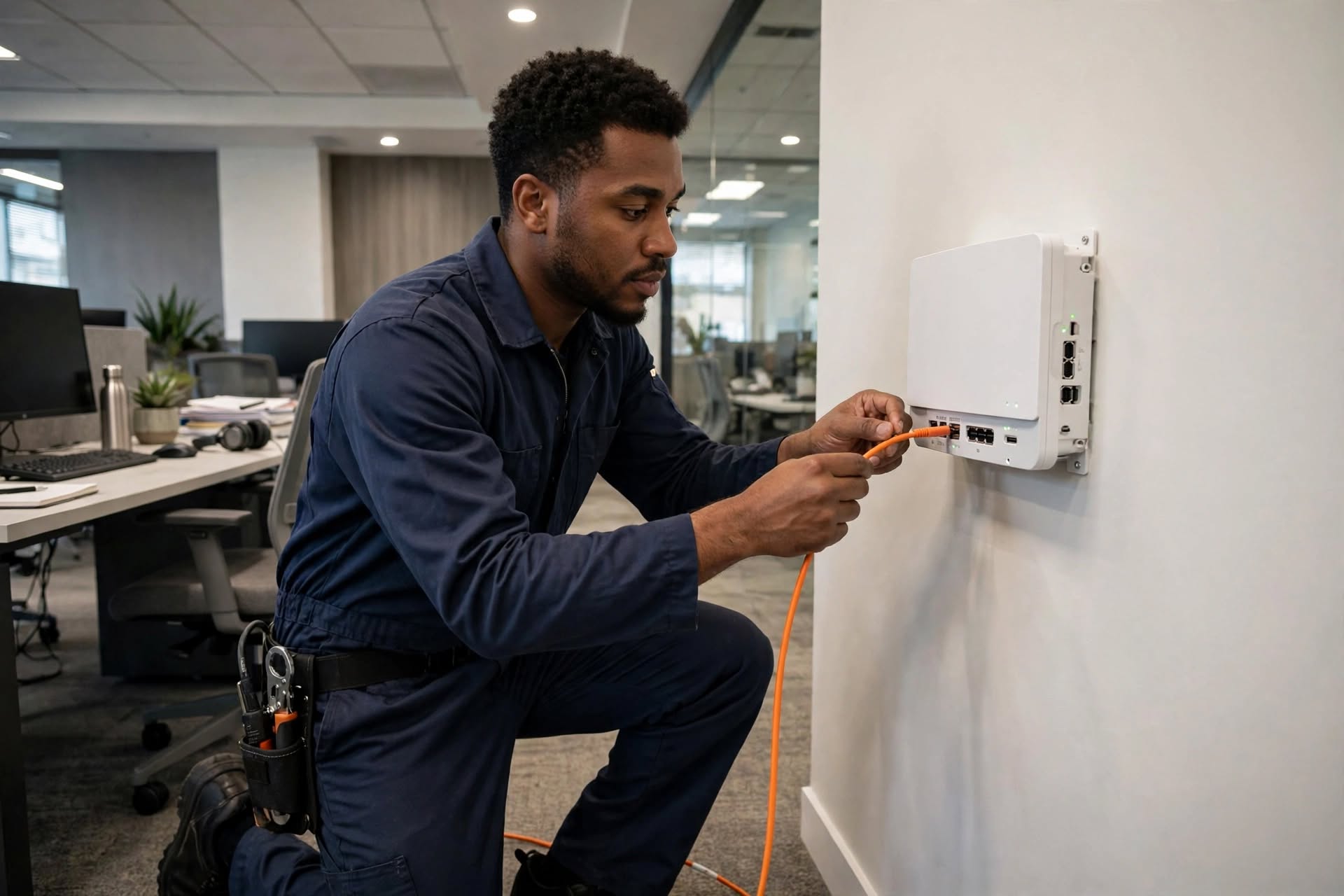
Fibre & Connectivity
Site connectivity assessment, livestream support, command-centre links and redundant communications.
View the architecture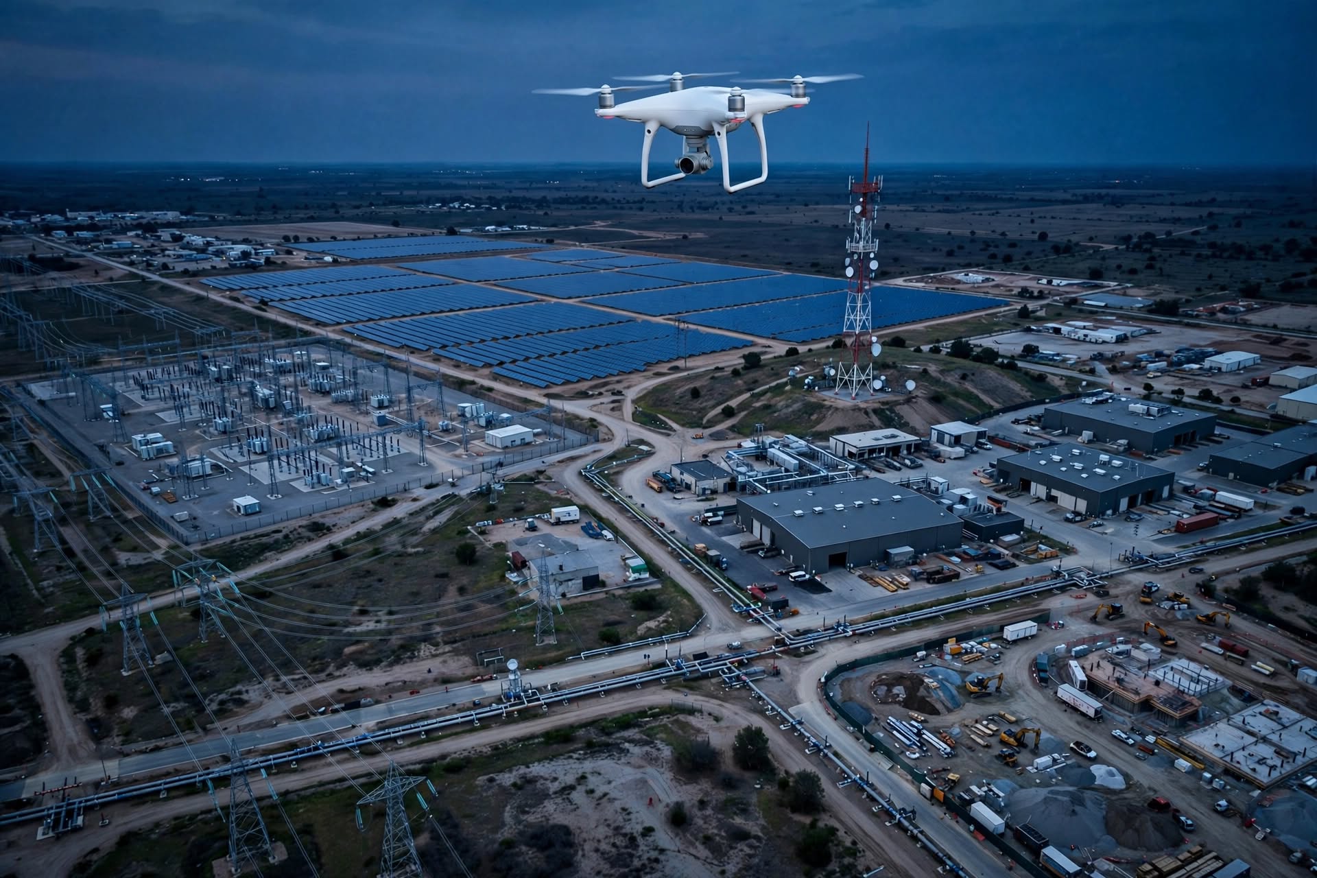
Data & Decision Support
Tagged media, inspection records, thermal findings, orthomosaics, 3D models and operational reporting.
See deliverablesWhy Berenith exists
Vision
To become a trusted African provider of intelligent drone, aerial data and connected surveillance solutions, recognized for responsible innovation and real-world impact.
Mission
To design and deliver fit-for-purpose aerial solutions that enhance safety, strengthen situational awareness, improve asset intelligence and create compelling visual content through the responsible use of advanced drone platforms and specialist partnerships.
Five things every engagement starts with
Every mission begins with the client's operational or creative requirement, not a fixed piece of hardware — the platform, partners and governance model are assembled around the outcome required.
- 01
Mission-led solution design that begins with the client's operational or creative requirement.
- 02
A deliberately selected fleet spanning cinema, enterprise, thermal, mapping, dock and FPV applications.
- 03
A partner-enabled delivery model for regulated flight operations, technical integration, training, specialist data processing and field support.
- 04
An integration mindset that connects aerial capture with command centres, connectivity, GIS, reporting and ground response where required.
- 05
A governance-first approach to safety, privacy, access control, evidence handling and operational accountability.
What Berenith is designed to deliver
Five outcomes guide every mission and managed programme Berenith designs.
Safer communities
Use aerial visibility and structured intelligence to support risk detection, verification and coordinated action.
Faster response
Reduce the time between an alert, visual confirmation, decision and deployment of the appropriate ground resource.
Smarter infrastructure
Capture accurate, repeatable visual and spatial information that supports inspection, planning and maintenance.
Community confidence
Apply transparent governance, privacy controls and accountable operating procedures around aerial technology.
Stronger storytelling
Produce cinematic, documentary and FPV footage that communicates places, projects and experiences with clarity and impact.
Connecting technology to a practical outcome
Berenith's differentiation is the combination of mission-led design, a deliberately varied fleet, integrated operating thinking and a responsible partner model — structured to connect technology to a practical outcome rather than sell a platform in isolation.
See the full comparisonMission-specific fleet
Platform choice follows the output and risk environment, never the other way round.
Integration mindset
Aerial data connects to GIS, reports, production workflows, command points and ground action.
Governance by design
Aviation, privacy, safety and data controls are built in from the start of solution design.